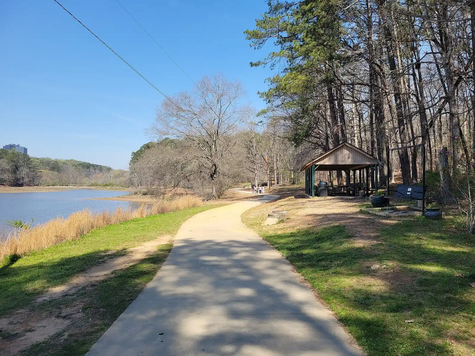
Walk or ride in Brookhaven: the 1.3-mile Peachtree Creek Greenway and its free trailheads, Murphey Candler's lake loop and Blackburn Park's paved trail.
Last checked Oct. 5, 2026. Distances, trailheads and maps come from the City of Brookhaven, linked; where the city and its visitors bureau describe a trail differently, we say so.
Brookhaven’s best-known path is the Peachtree Creek Greenway, a paved trail along the North Fork of Peachtree Creek built for walking, running and biking. The city’s big parks add loops of their own: around the lake at Murphey Candler Park, through Blackburn Park and around Brookhaven Park. The city posts trail maps on its trails page.
| Trail | Where to start | Surface and length | Map |
|---|---|---|---|
| Peachtree Creek Greenway | 2036 N. Druid Hills Road; 1801 Corporate Blvd.; 1793 Briarwood Road | Paved, 1.3 miles | City page |
| Murphey Candler Park lake loop | 1551 West Nancy Creek Drive | Path around the lake, about 2 miles | Park map (PDF) |
| Blackburn Park | 3493 Ashford Dunwoody Road | Paved trail with boardwalk | Park map (PDF) |
| Brookhaven Park | 4158 Peachtree Road | Mini-trail around the park, walking bridge | Park map (PDF) |
| Briarwood Park | 2235 Briarwood Park Road | Trail and walking bridge | Park map (PDF) |
| Ashford Forest Preserve | 3890 Clairmont Road | Wooded trail, pedestrians only | City page |
Who to call
- Trail problems, fallen trees, damage: City of Brookhaven, 404-637-0500, or “Report a Problem” on brookhavenga.gov
- Park closures: 470-704-4774 (option 3)
- Emergency on a trail: 911
Peachtree Creek Greenway
The open section is a 1.3-mile paved trail along the North Fork of Peachtree Creek, with three trailheads with free parking at 2036 N. Druid Hills Road, 1801 Corporate Blvd. and 1793 Briarwood Road, per the city’s greenway listing. The city also lists swings, hammocks and benches along it.
Phase I runs from North Druid Hills Road west to Briarwood Road. Built by the PATH Foundation, it opened on Dec. 12, 2019, and became known as the “model mile.” It is part of Brookhaven’s planned 3-mile section of the 12.3-mile North Fork Peachtree Creek trail: Phase II will run from the Atlanta city line to the North Druid Hills Road trailhead, and Phase III from Briarwood Road to the Chamblee city line, according to the city’s greenway page. (Explore Brookhaven, the city’s convention and visitors bureau, describes the open section as one mile.)
In May 2026 the Atlanta Regional Commission awarded $13.6 million in federal funding to complete Phase II, which will link the greenway to PATH 400, the South Fork Conservancy trails and the Atlanta BeltLine Northeast Trail, the city announced.
Murphey Candler Park
1551 West Nancy Creek Drive. A 135-acre park built around a lake, with trails, a footbridge, playground, pool and ball fields. Explore Brookhaven describes a 2-mile walking path around the lake in its dog-friendly guide; the city lists a “Perimeter Trail at Murphey Candler” and publishes a park map.
Blackburn Park and Brookhaven Park
- Blackburn Park, 3493 Ashford Dunwoody Road: 50 acres with a paved trail and boardwalk, restrooms and parking, per the city’s park listing.
- Brookhaven Park, 4158 Peachtree Road: nearly 21 acres with a mini-trail around the park, per the city’s park page.
Smaller trails
- Ashford Forest Preserve, 3890 Clairmont Road: a wooded trail; the city’s signs say pedestrian access only.
- Georgian Hills Park, 2800 East Georgian Drive: a one-tenth-mile walking trail, per the city’s master plan progress page.
- LaVista Park, 1319 Brookforest Drive: a trail and playground.
Biking
The greenway is the city’s main off-road route for bikes. The city is installing 192 new bike racks at parks and government buildings, starting at Lynwood Park in August 2026, under a 2023 ordinance that requires usable bike parking, it announced.
Dogs on trails
Dogs are welcome on a leash. City code requires a dog to be leashed or at heel in every city park outside fenced, signed off-leash areas; see our dog-friendly guide.
Frequently asked questions
How long is the Peachtree Creek Greenway in Brookhaven? The open section is a 1.3-mile paved trail from North Druid Hills Road to Briarwood Road. Brookhaven’s full section is planned at about 3 miles.
Where do I park for the Peachtree Creek Greenway? At three free trailheads: 2036 N. Druid Hills Road, 1801 Corporate Blvd. and 1793 Briarwood Road.
How long is the trail around Murphey Candler Lake? Explore Brookhaven describes a 2-mile path around the lake. The city publishes a park map.
Can I ride a bike on the Peachtree Creek Greenway? Yes. The city describes it as a paved trail for bicycling, walking and running.
Are dogs allowed on Brookhaven trails? Yes, on a leash.
What this means for you
- Start the greenway at any of the three free trailheads.
- Download the park maps before you go; there are four on the city’s trails page.
- Phase II funding means a longer greenway is coming; we will report construction dates.
Related: dog-friendly Brookhaven, free things to do and kids’ activities.
Have your say